Replace the current map fallback through one provider adapter
Keep the current Android map state and policy model, then decide the provider and geometry adapter behind it. Google Maps and MapLibre are inputs, not the product model.
One place to compare the current Android build, imported design work, and the decisions needed to turn map, ground view, and phone AR into one coherent experience.
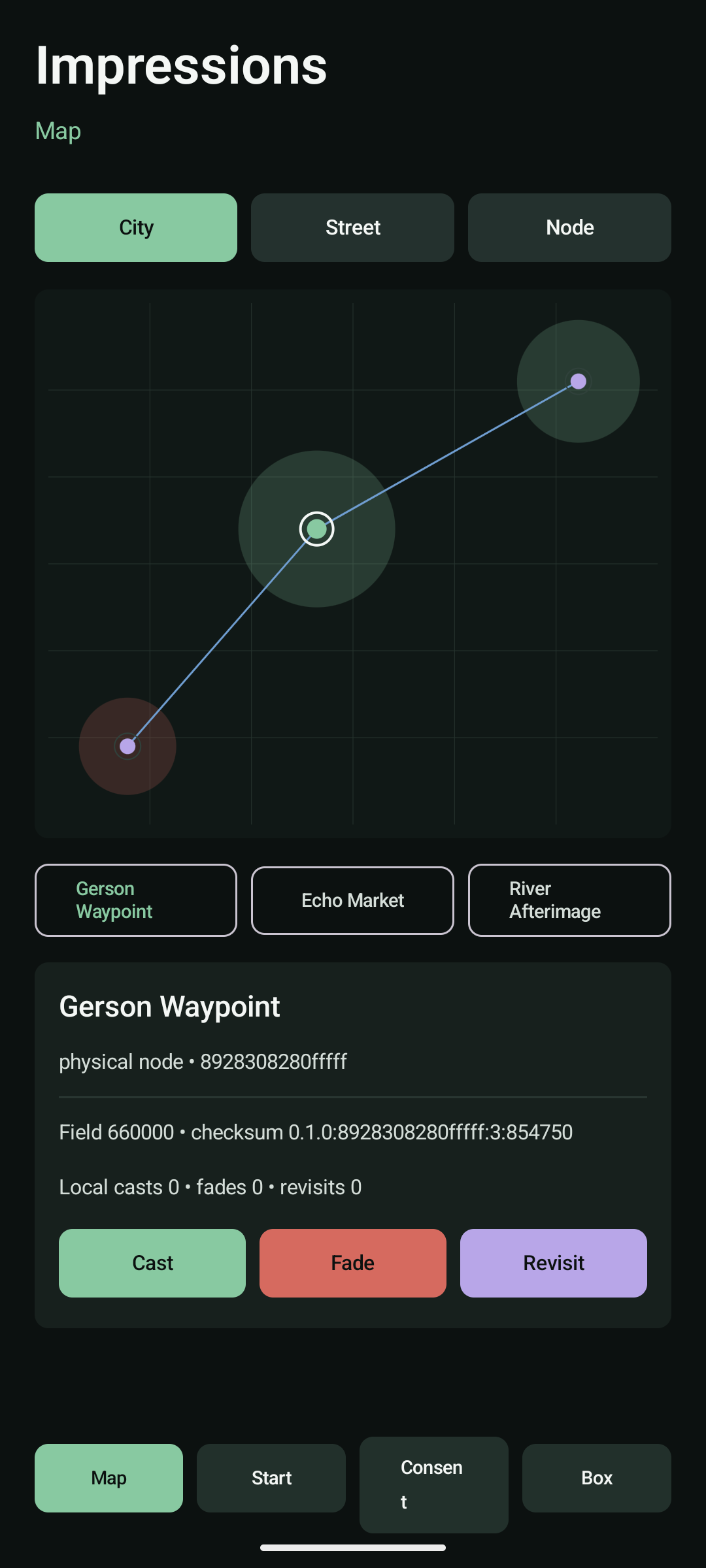
Current map surface in the Android shell. A live map provider remains an integration task.
Use these visuals to compare what runs now with the design language and interaction patterns we still need to integrate.
This is the working list. It ties the current build and reference material to the design decisions and technical work still needed for a real integrated flow.
Keep the current Android map state and policy model, then decide the provider and geometry adapter behind it. Google Maps and MapLibre are inputs, not the product model.
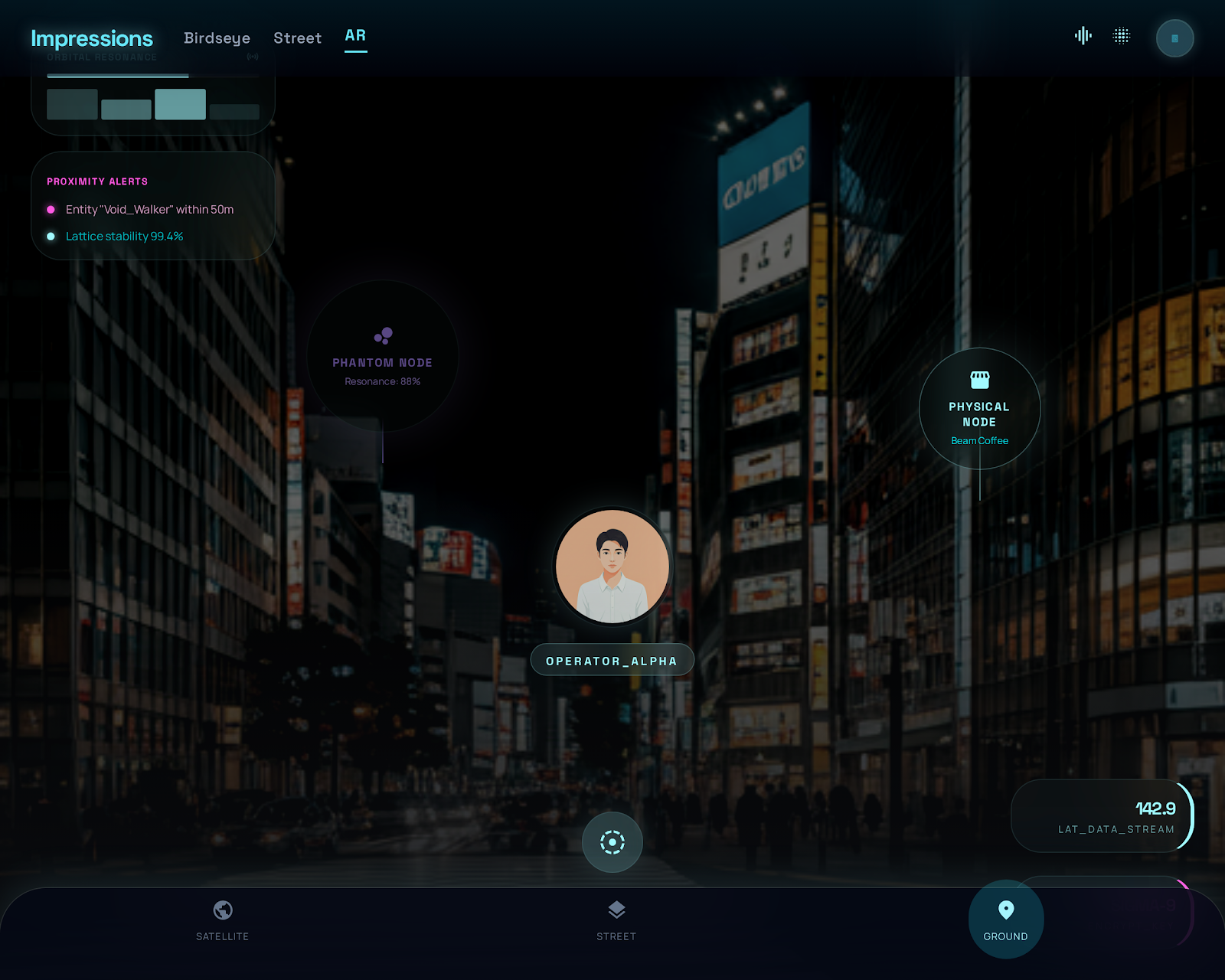
The OpenCode visual work gives us the city-to-street transition, hierarchy, and interaction grammar. It needs a deliberate Android owner rather than a separate app.
Raw camera, sensor, precise path, private-model, and audit data stay default-deny. Phone AR should remain a local renderer over safe objects, not a new privacy surface.
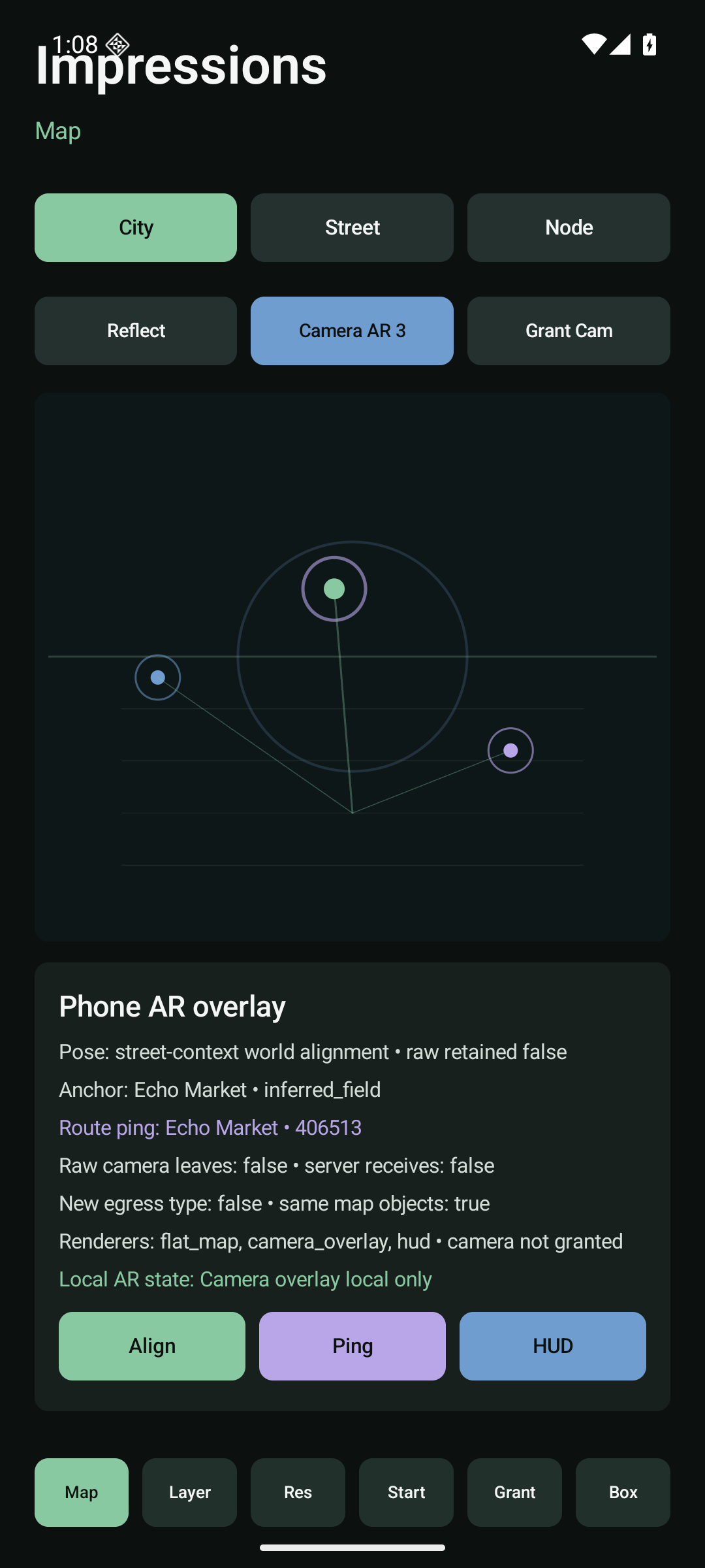
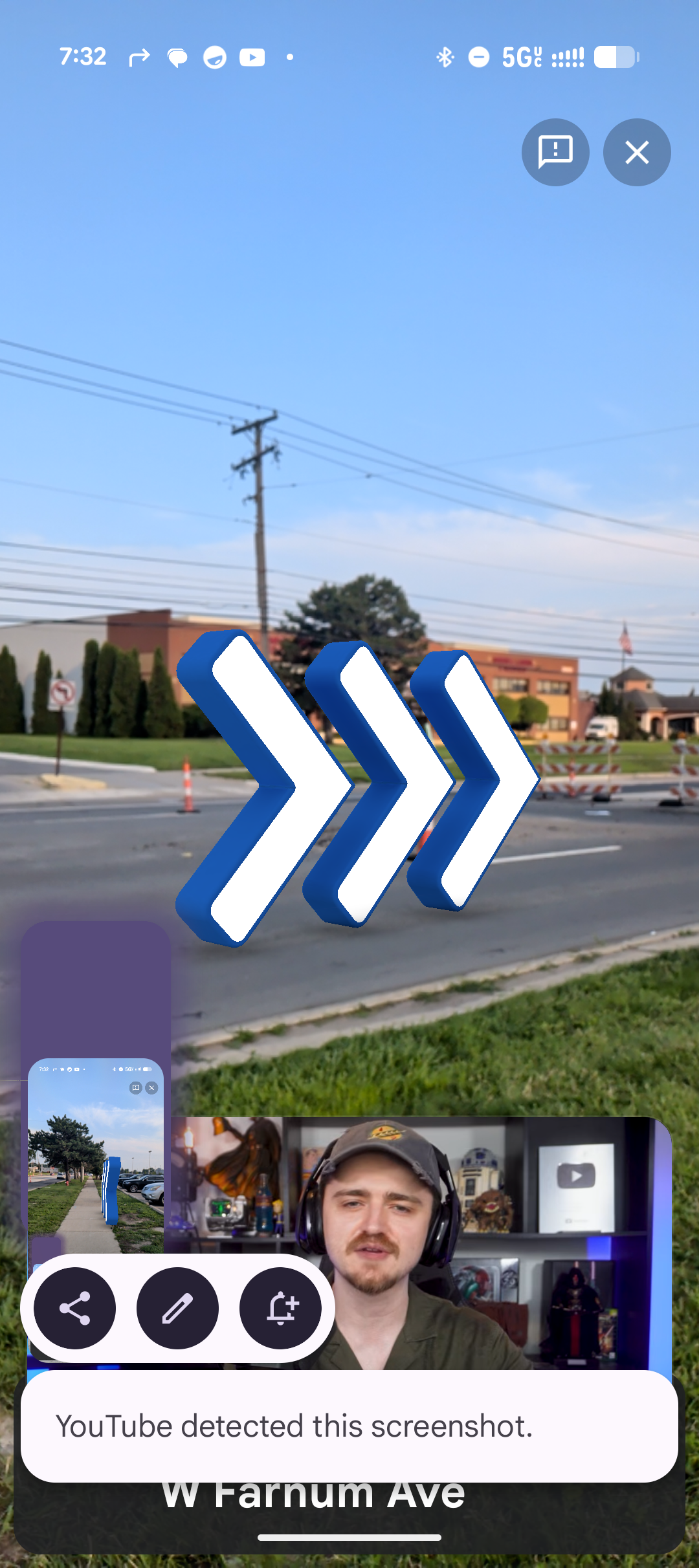
The current contract establishes safe anchors and HUD intent. ARCore, physical Pixel, map/geometry alignment, coverage, and actual device validation are still open work.
The Rust and server boundaries define the safe shapes. The first usable social flow still needs durable governed transport, consent/ledger persistence, and clear UI states.
Their work is preserved for later evaluation. Nothing from that lane becomes a runtime claim until it has a clear owner, a tested role, and a reason to affect the product.
The current build has one code home. Earlier work stays available here as reference material, so it can be integrated deliberately without becoming a competing project.